Introduction
This page summarizes the design details for the implementation of the environmental monitoring and evaluation indicator requirements by the Amazon Biodiversity Fund (ABF).
Link to draft: Reforesterra report (google doc, coming soon…)
Land Uses / Geographic Reporting Units
The land uses we include in the design of TerraBio include:
- Reference: Conserved forested area characterized by native trees.
- Counterfactual: Practice followed if no intervention. E.g. pasture land, soy plantation. [comment]: <> (UPDATE THIS SECTION)
- Intervention Type(s):
- The agroforestry system or reforestation sites (the business implementation). Not all deals will have this land use.
- Regeneration site: Any area left for regeneration/natural succession or managed restoration. Not all deals will have this land use.
- Undesignated: Note, not all areas in a farm will fall under these categories. We refer to this area in the farm that is not included as an intervention, reference or counterfactual as undesignated.
Farm boundary(ies): Includes the farm boundaries under the deal. It usually encompasses all the other land uses, but it can happen that one land use is not within the farm boundaries.
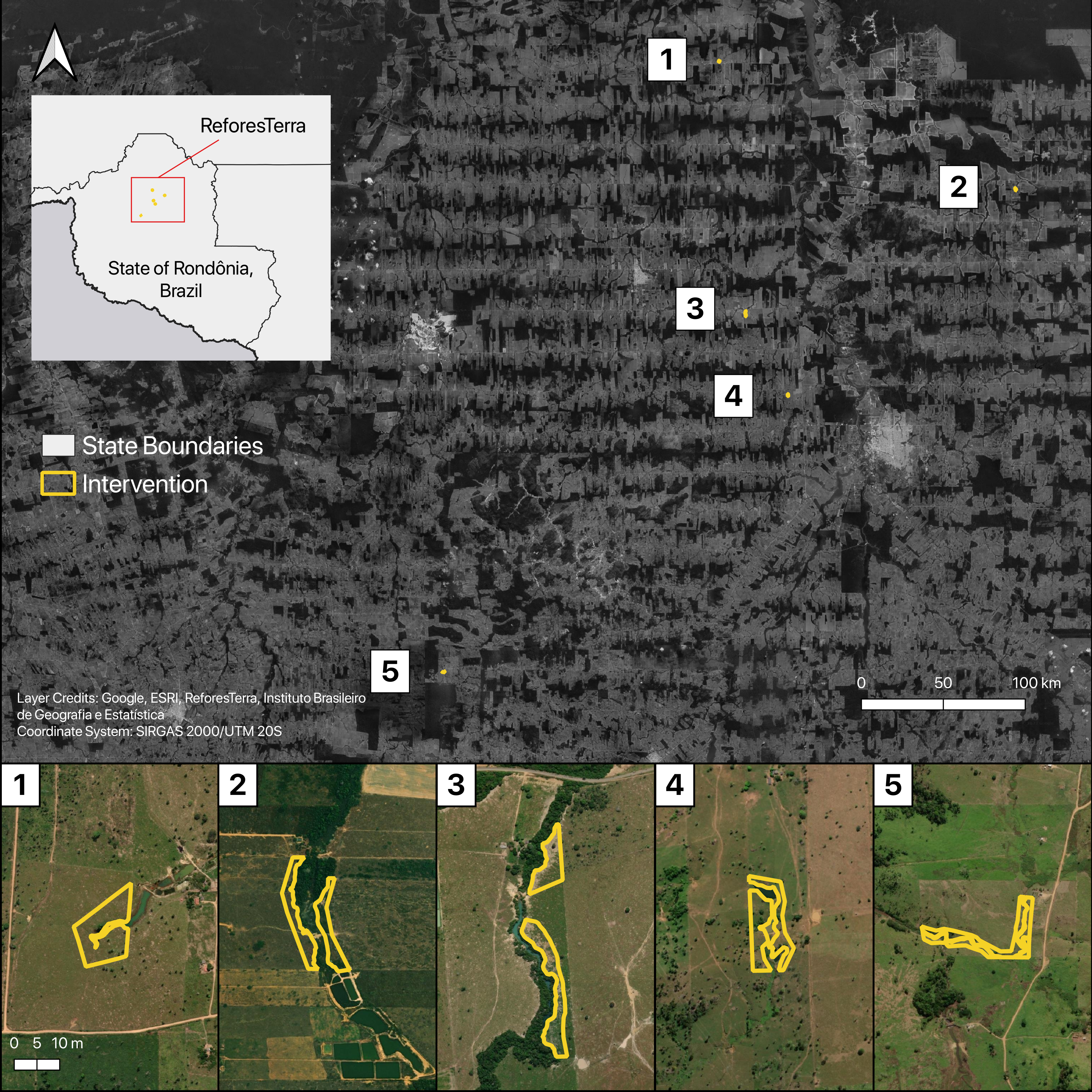
Below we include some images to illustrate what these different reporting geographies could look like for a deal.  update image
Remote Sensing Indicators Quick Look Up Table
| ABF KPI | TerraBio metric | reporting unit | measurement units |
|---|---|---|---|
| CO2 e Reduction | Carbon Sequestration - Emission Reductions | farm boundary and by land use | normalized by area (T C/ha - confirm units) |
| Improved Biophysical Conditions | Regenerated/Restored Area | within intervention sites | Total ha |
| Landscape Conservation | Conserved Forest Area | farm boundary, excluding intervention | Total ha |
| Habitat Protection | Change in Patch Connectivity | farm boundary | percent area change per class |
Sample Design
Sample Design for Field Data Collection
Details to be added.
Sample Design for Image Interpretation
We will first generate a simple random sample of 139 points from within the farm boundaries. Then densify this initial sample to meet the data needs prescribed by each metric:
- Conserved Area: 35 points per loss stratum (stable forest, deforested, degraded, non-forest)
- Regenerated/Restored Area: 35 points per gain stratum (gain, no gain) within the intervention sites
- Carbon Sequestration - Emission Reductions: 35 points per land use (counterfactual, intervention, reference)
Points will be added on an as-needed basis, as one of the intermediate samples may meet all data needs.
Visit resources below for more details: